Parallax
Newsletter of the Central Coast Chapter of the California land Surveyors Association
Featured Articles
Chapter News
-
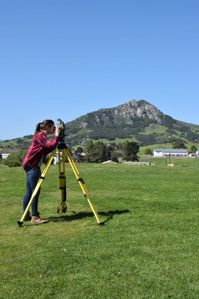
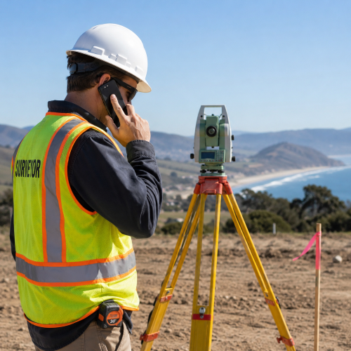
Interview with Leonard Lenger Jr.
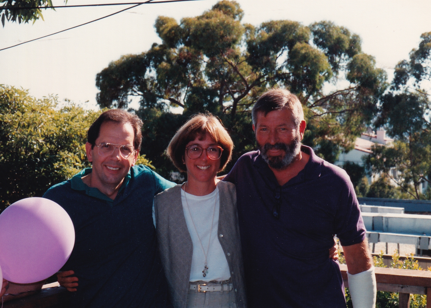
As many of you know, Leonard Lenger, Jr. is a long-time surveyor on the Central Coast. The interview was more of a roaming chat of his life and philosophies than is reflected in the organized interview that follows.
-
July 2026 Chapter Meeting Wrap-up
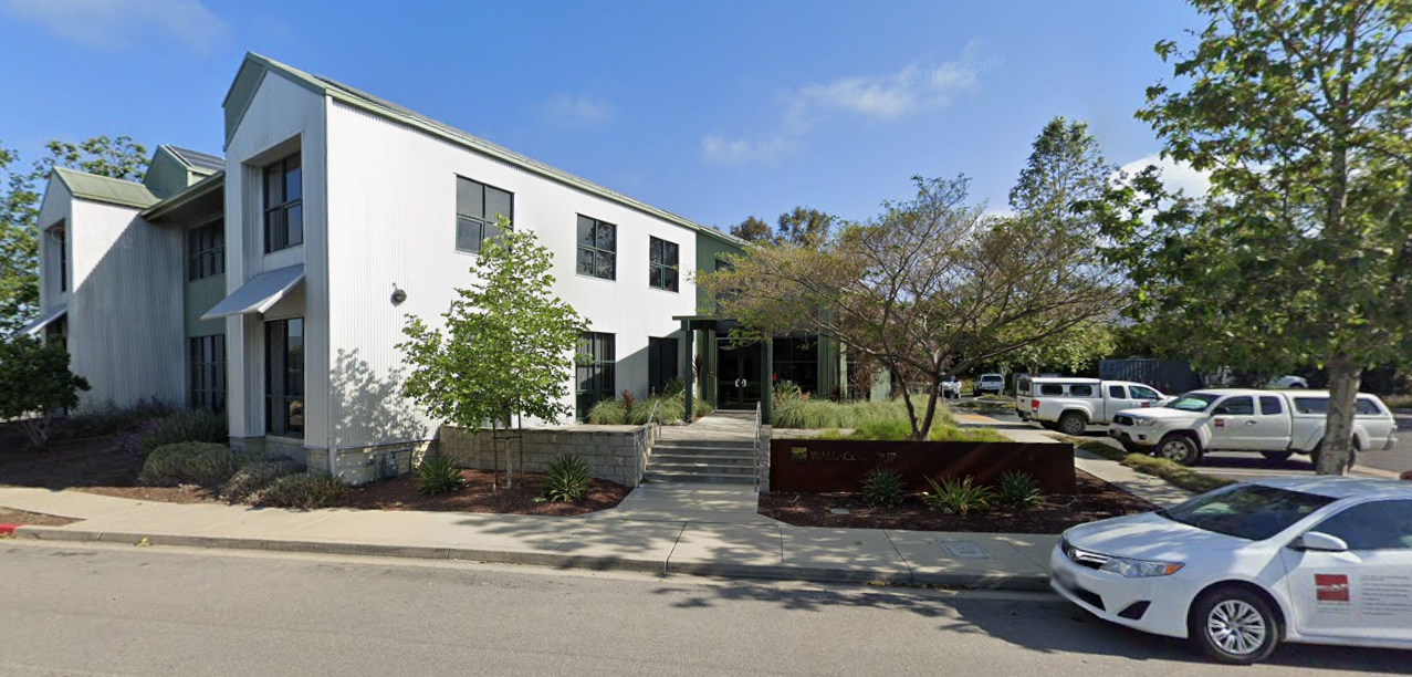
A great introduction to the Young Surveyors Network was presented to the Chapter by Kyle Brook PLS at the Wallace Group Conference Center
Guest Opinions
-
Too Busy
This is a story that repeated far too often across the country as a Nevada surveyor is stymied by lack of professional courtesy by other land surveyors.
-
History of Mt.Diablo
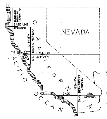
The Spanish tell the story that once in olden times they had a battle with the Indians on the mountain; it was going hard for the Spaniards when suddenly the Devil came out of the mountain, helped the Spaniards, and…
-
Young Surveyors Aren’t Demanding The Impossible: They Are Asking For A Fair Deal

There’s a line that shows up all across our profession right now: “Nobody wants to work anymore.” It gets tossed around when a new hire leaves after six months, when a posting sits open for weeks or months, or when…
Tech Tips
-
‘Tis the season – Update

spring and early summer are the times in California when there is the greatest chance of getting Lyme Disease. We are lucky on the Central Coast as the number of cases is relatively small: from 2001 to 2023, San Luis…
-
SEAM ERRORS ON A DIGITAL BAR CODE LEVEL ROD
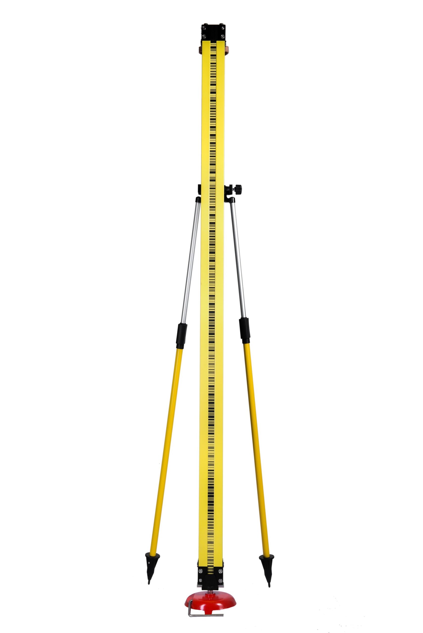
By Michael McGee, LS & Robert Reese, LS So you got your new bar code digital level to do that first order work your new client requested. Nice. And you bought the three section rods, understandably, because the one-piece invar…
Other News
-
Mount Diablo Initial Point 175th Anniversary
Read the newest information on this once in a lifetime event! Also consider being a financial supporter of the event. Read the July 5 letter from the Mt. Diablo Historical Society for more information
-
Letter from Mt. Diablo Historical Society
Hello Central Coast Chapter CLSA! I’m sending out a reminder for this event. Please consider joining us at the Summit for a great day of survey history! We’re hoping that a lot of surveyors show up along with the general…
Current Documents
Events
Recent Comments
I remember Susan, Leonard and Tom from way back in the early 80’s. They all helped me get started and…
Can we have permission to repost in the Channel Islands Chapter newsletter next month ? Nice job by the way..
I miss Susan’s fiery personality. She was very fun to be around. She ran the CLSA Christmas party for many…
Trying to resolve a conflict with a prior survey is a noble goal. Especially today with so many surveyors deciding…
The Lone Star tick: ” “…a cross between a lentil and a velociraptor…” A recent article in the NSPS “Surveyor…