
This is a question that many land surveyors have dealt with in their years of work. It is also a question that land surveyors new to the profession will come across soon enough. We have had these discussions at chapter meetings before, but input and opinion is limited to those at the meeting. We here at Parallax are hoping the following provocative questions might generate comments here that will give those new land surveyors some perspective on the difficulties these questions pose.
In the realm of land surveying, a subtle yet significant question often arises: at what point does a topographic survey that shows boundary lines require an actual field boundary survey? This distinction is not merely academic; it carries profound legal and professional implications, especially in California where Record of Survey requirements come into play.
Topographic surveys prepared by a licensed surveyor are always (never say never) a means to an end, not the end itself. It is likely that something is going to be designed or sold based on that topographic survey. Most of the time a critical element of the topographic survey is its relation to some boundary easement or other lines. Most of the time the client or engineer wants the work done at a minimum cost. Some of the time your client or engineer may indicate that the precise boundary “isn’t that important at this stage” but “it would be good to show the approximate lines”. And almost all of the time there aren’t material discrepancies to some degree between record monuments.
So, this is a gray area as to how to provide the client with what they need, and still meet our professional responsibilities. Here are some scenarios to think about.
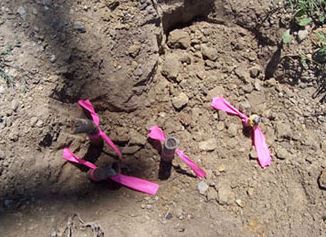
SCENARIO 1 – SITE PLAN WITH OFFSITE MONUMENTS FOUND – A client requests a topographic survey for a 10,000 sq. ft. vacant residential lot in an old subdivision, where they set wood hubs at street centers. There are various surveys within the subdivision but none near this lot. Some, but not all, the surveys show a good match between record and measured, some even perfect matches! Your client indicates that they aren’t planning on building right up against the property line but need the lines shown for the building department. Your crew shoots in some centerline monuments (not original) when they do the topographic survey. From this the boundary lines are drawn on the map. The crew paid attention when they were doing the topo but did not specifically search for the lot corners.
SCENARIO 2 – SITE PLAN WITH MATERIAL DISCREPANCIES BETWEEN FOUND LOT CORNERS – Same lot, same client who does not want to pay for a boundary survey. This time your crew finds what appear to be monuments with no record on two of the five corners of this lot. The monuments generally fit occupation but are about half a foot off in matching record.

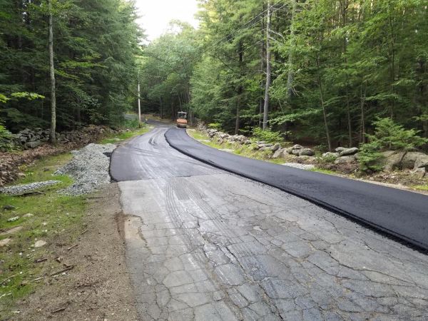
SCENARIO 3 – ENGINEERING DESIGN SURVEY WITH MONUMENTS – An engineer that you do a lot of work for has a contract to design some curb and gutter and some utilities along a road that has just been annexed into the City. The road is in existence and even has new pavement. There was a survey done 75 years ago that created the right of way, and it shows some fencing along the right of way and has some monuments set. The engineer is clear he does not need a precise survey of the right-of-way for theirdesign, suggesting that it can be done at the time of staking. Your crew does the topographic survey, finding some of the monuments shown on the old survey. You establish the right of way from the surveyed monuments and show them on the design survey. Your topographic survey map now shows that the right-of-way does not line up with the fences that are out there now.
SCENARIO 4 – DESIGN SURVEY WITHOUT BOUNDARY SURVEY BUT “RECORD” LINES SHOWN – Your same engineer friend has a commercial design contract for a large hilly site owned by a developer. The engineer and the architect need a topographic survey to determine how many commercial lots they can be created for approval by the planning commission. Again, you are told there is no need for a formal boundary survey at this preliminary stage, but they do need the “record” boundary lines shown on the mapping along with the area for their calculations. Adjoining sites are fully developed with either houses or other commercial facilities.
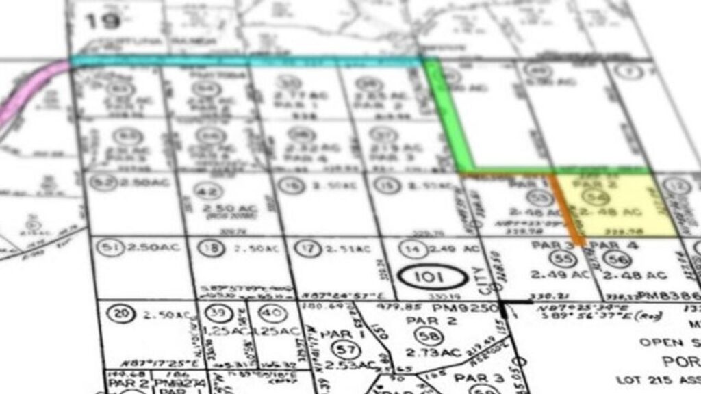
Based on these scenarios, we would like to know your opinion on:
- When do record boundary lines on a map indicate a boundary survey?
- When would you require a boundary survey to show boundaries on a map?
- When you do a boundary survey, what would elevate the documentation from a corner record to a record of survey?
Your input is welcome regarding when lines on a map qualifies as a boundary survey. There are a variety of opinions about how to handle putting lines representing record boundaries on a map. We are hoping to hear all opinions on this.
Please feel free to add hypothetical conditions to the scenarios to support your opinion. You may change the scenario to more clearly reflect your opinion(s). Or you may address all the scenarios or only one.
You are welcome to use the comment section to reply. If you would prefer your response remain anonymous, email your comments to central.coast.clsa@gmail.com and we will keep your name and email out of it.
For your reference
Section 8726(a)(3) of the LS Act
Locates, relocates, establishes, reestablishes, or retraces any property line or boundary of any parcel of land, right-of-way, easement, or alignment of those lines or boundaries.
Section 8762 of the LS Act
(a) Except as provided in subdivision (b), after making a field survey in conformity with the practice of land surveying, the licensed surveyor or licensed civil engineer may file with the county surveyor in the county in which the survey was made, a record of the survey.
(b) Not with standing subdivision (a), after making a field survey in conformity with the practice of land surveying, the licensed land surveyor or licensed civil engineer shall file with the county surveyor in the county in which the field survey was made a record of the survey relating to land boundaries or property lines, if the field survey discloses any of the following:
(1) Material evidence or physical change, which in whole or in part does not appear on any subdivision map, official map, or record of survey previously recorded or properly filed in the office of the county recorder or county surveying department, or map or survey record maintained by the Bureau of Land Management of the United States.
(2) A material discrepancy with the information contained in any subdivision map, official map, or record of survey previously recorded or filed in the office of the county recorder or the county surveying department, or any map or survey record maintained by the Bureau of Land Management of the United States. For purposes of this subdivision, a “material discrepancy” is limited to a material discrepancy in the position of points or lines, or in dimensions.
(3) Evidence that, by reasonable analysis, might result in materially alternate positions of lines or points, shown on any subdivision map, official map, or record of survey previously recorded or filed in the office of the county recorder or the county surveying department, or any map or survey record maintained by the Bureau of Land Management of the United States.
(4) The location, relocation, establishment, reestablishment, or retracement of one or more points or lines not shown on any subdivision map, official map, or record of survey, the positions of which are not ascertainable from an inspection of the subdivision map, official map, or record of survey.
(5) The points or lines set during the performance of a field survey of any parcel described in any deed or other instrument of title recorded in the county recorder’s office are not shown on any subdivision map, official map, or record of survey.


Leave a Reply